Gornergletscher
Gorner Glacier
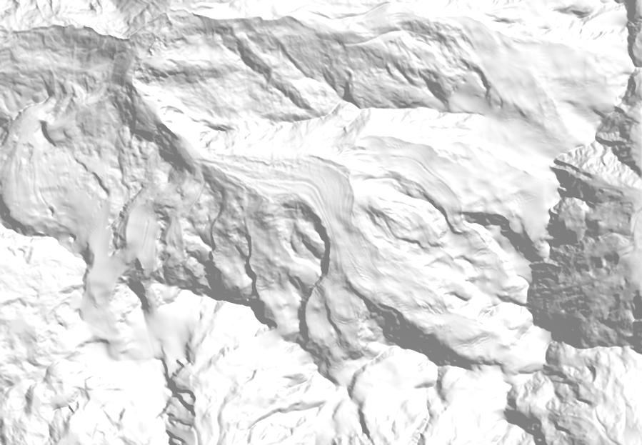
Past extents come from the Swiss Glacier Inventories of 1850, 1931, 1973 and 2016. Future extents are illustrative: each glacier’s projected area (OGGM, median of CMIP6 climate models) is removed from its lowest ice upward. About the scenarios.
The second-largest glacier in Switzerland, below Monte Rosa near Zermatt. Where it meets the Grenzgletscher, an ice-dammed lake, the Gornersee, fills most summers and drains through the glacier within days. A dam at its foot is among the 15 hydropower projects agreed in 2021.
Gornergletscher is the 2nd-largest glacier in Switzerland, covering 41.23 km² in the canton of Valais. Its ice spans 2,190 to 4,599 m and faces north-west. Its meltwater drains to the Rhône and on to the Mediterranean. In 1850 it was part of a larger ice body of 65.5 km², which has since split into 4 glaciers covering 54.1 km² in 2016 (−17%). Its tongue has been measured 124 times since 1882. In total it has retreated 3,094 m, about 21.8 m a year. Between 1931 and 2023 its surface dropped by 53 m on average. With strong climate protection (SSP1-2.6), about 43% of its 2020 ice would remain in 2100. With very high emissions (SSP5-8.5), 2% would remain. Its meltwater is projected to peak around 2037.
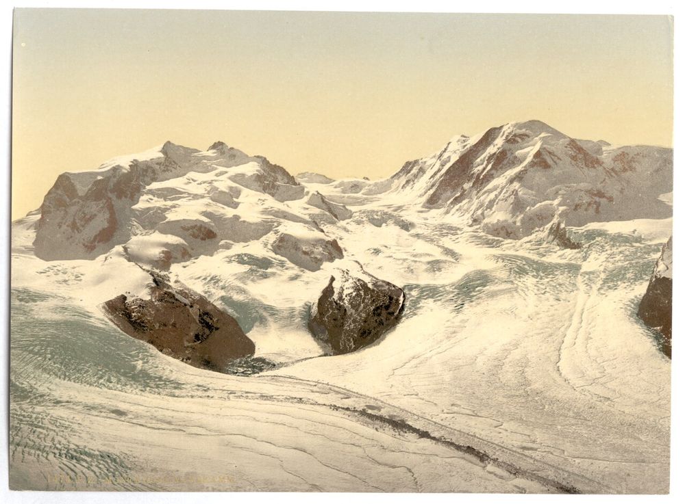
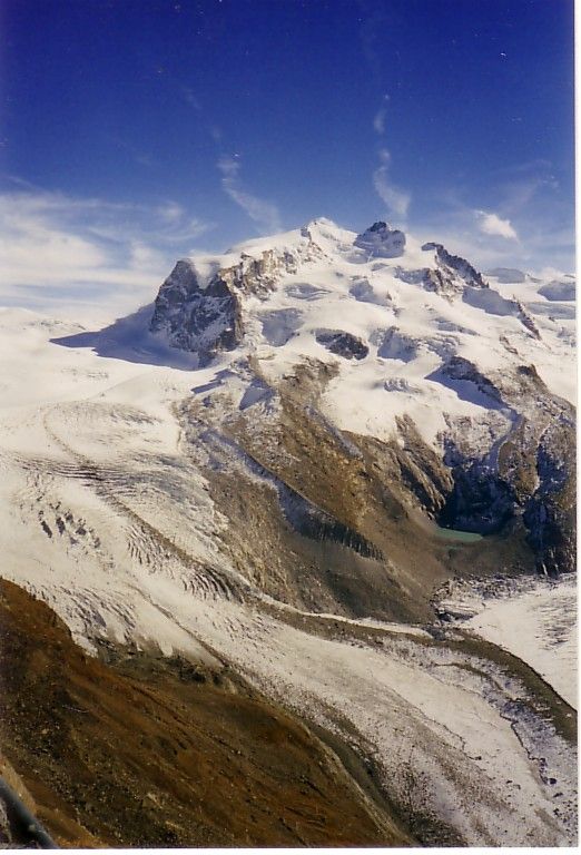
Then and now

What remains in 2100
Meltwater
Million m³ of water per year, 11-year mean
The record
Length change since 1882
Position of the glacier tongue, measured in the field almost every year. Hover for each measurement.
Thinning since 1931
Average change in surface height, from comparing elevation models made from maps, aerial images and laser scans.
Facts
Area over time
Past areas are the ice body this glacier belonged to at the time. Projections: OGGM median, SSP2-4.5.
- SGI id
- B56-07
- Canton
- Valais
- River
- Rhône → Mediterranean
- Basin
- Vispa
- Location
- 45.9407° N, 7.8256° E · swisstopo map
- Elevation
- 2,190–4,599 m, median 3,364 m
- Slope, aspect
- 19°, north-west
- Debris cover
- 3.13 km² (8% of the area)
- Inventory image
- 2015
- Ice volume (model)
- ≈ 5.01 km³ in 2020 (OGGM)
- RGI ids
- RGI60-11.02822, RGI60-11.02875, RGI60-11.02894, RGI60-11.02903, RGI60-11.02912, RGI60-11.02919 …
- In 1850 joined with
- Monte Rosagletscher, Breithorngletscher (Zermatt), Unterer Theodulgletscher
More in the Vispa basin
- Zmuttgletscher14.82 km²
- Findelgletscher13.86 km²
- Feegletscher zentral13.82 km²
- Unterer Theodulgletscher9.63 km²
- Allalingletscher9.09 km²
- Riedgletscher7.23 km²
- Schwarzberggletscher zentral5.14 km²
- Hohlichtgletscher4.54 km²
- Bisgletscher4.18 km²
- Furgggletscher3.82 km²
- Mellichgletscher N3.08 km²
- Hobärggletscher2.98 km²
Sources
- Linsbauer et al. (2021). The new Swiss Glacier Inventory SGI2016. Frontiers in Earth Science 9. doi.org/10.3389/feart.2021.704189
- Mannerfelt et al. (2022). Halving of Swiss glacier volume since 1931 observed from terrestrial image photogrammetry. The Cryosphere 16. doi.org/10.5194/tc-16-3249-2022
- GLAMOS – Glacier Monitoring Switzerland. www.glamos.ch
- Zekollari et al. (2024). Twenty-first century global glacier evolution under CMIP6 scenarios and the role of glacier-specific observations. The Cryosphere 18 (OGGM v1.6 projections). tc.copernicus.org/articles/18/5045/2024/
- Huss et al. (2007). Glacier-dammed lake outburst events of Gornersee, Switzerland. Journal of Glaciology 53. www.cambridge.org/core/journals/journal-of-glaciology/article/glacierdammed-lake-outburst-events-of-gornersee-switzerland/556C5B9A155B3FE3D5CAA2A3FDDE64B3
- Gemeinsame Erklärung des Runden Tisches Wasserkraft (2021). www.newsd.admin.ch/newsd/message/attachments/69601.pdf
Relief: swisstopo swissALTIRegio. 1850 and 1973 outlines: Maisch et al. (2000), Müller et al. (1976), Paul (2004). Length, mass balance and volume change: GLAMOS releases 2025. All sources and methods.